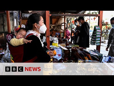
Typhoon Chami Approaches Vietnam
110
0
According to the National Center for Hydro-Meteorological Forecasting, Typhoon No. 6, known as Typhoon Chami, formed at approximately 16.8 degrees North and 109.1 degrees East, around 125 km northeast of Da Nang on the morning of October 27. The maximum wind speed near the center of the typhoon is from 9 to 10 levels, equivalent to 89-102 km/h, with gusts reaching level 12. On October 27, the typhoon will move towards Quang Tri and Quang Nam provinces before heading back out to sea and beginning to weaken. Bach Long Vi Island has recorded winds of levels 6-7, which could peak at level 8. The typhoon is expected to cause heavy rainfall in the areas from Quang Binh to Quang Ngai, with total rainfall amounts reaching 200-400 mm in some areas, and possibly exceeding 600 mm. Furthermore, the newly formed Typhoon Con Ray is intensifying and may reach tropical storm strength by the end of this week. The weather conditions are expected to be severe in the coming days, requiring residents to be cautious and prepare for potential impacts.
Highlights
- • Typhoon Chami is about 125 km northeast of Da Nang.
- • Winds near the center of the typhoon are at 9-10 levels (89-102 km/h) with gusts of level 12.
- • The typhoon is moving west at a speed of 20 km/h.
- • Forecasts indicate the typhoon will enter Quang Tri and Quang Nam provinces.
- • Heavy rainfall in central provinces is expected to be between 200-400 mm, with some areas exceeding 600 mm.
- • Bach Long Vi Island has strong winds up to level 8, with gusts at level 10.
- • Sea wave heights could reach between 2-4 meters in the typhoon-affected sea areas.
- • Typhoon Con Ray is also strengthening and may impact the Philippines.
- • Severe weather is expected from the early morning of October 27 to the night of October 28.
- • Residents need to prepare for emergency response.
* hawa bundu helped DAVEN to generate this content on
10/27/2024
.
More news

China's Role in Myanmar's Civil War: A Complex Shift
Sep 20, 2024

Tensions budgétaires et politique en France
Oct 25, 2024

Recent Escalation in Ukraine-Russia Conflict
Oct 28, 2024

Celebrities Influence Voting Decisions in Elections
Sep 18, 2024

Wisconsin Mom Voices Concerns on Illegal Immigration Crime
Sep 29, 2024

Trump Rally in NYC: Supporters and Detractors Unite
Oct 29, 2024